Riyadh
Riyadh
Dubai
+(966) 50 000 4959 Sun - Thu 09:00 - 17:00 As Sulimaniyah, Riyadh 12612
+1 2223 4567 Mon - Fri 09:00 - 17:00 4th Avenue Kingston St. New York
Riyadh
Riyadh
Dubai
+(966) 50 000 4959 Sun - Thu 09:00 - 17:00 As Sulimaniyah, Riyadh 12612
+1 2223 4567 Mon - Fri 09:00 - 17:00 4th Avenue Kingston St. New York
Certified
ISO 9001 - ISO 14001 - ISO 45001
The Best
IN KINGDOM OF SAUDI ARABIA
Number One
MILITARY SUPPLIER(CARAVAN)
Get A Quote

C4 I.T Corp

Command & Control Center Solutions

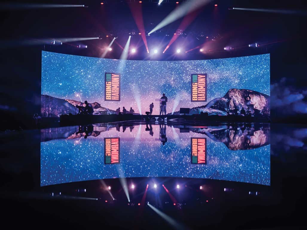
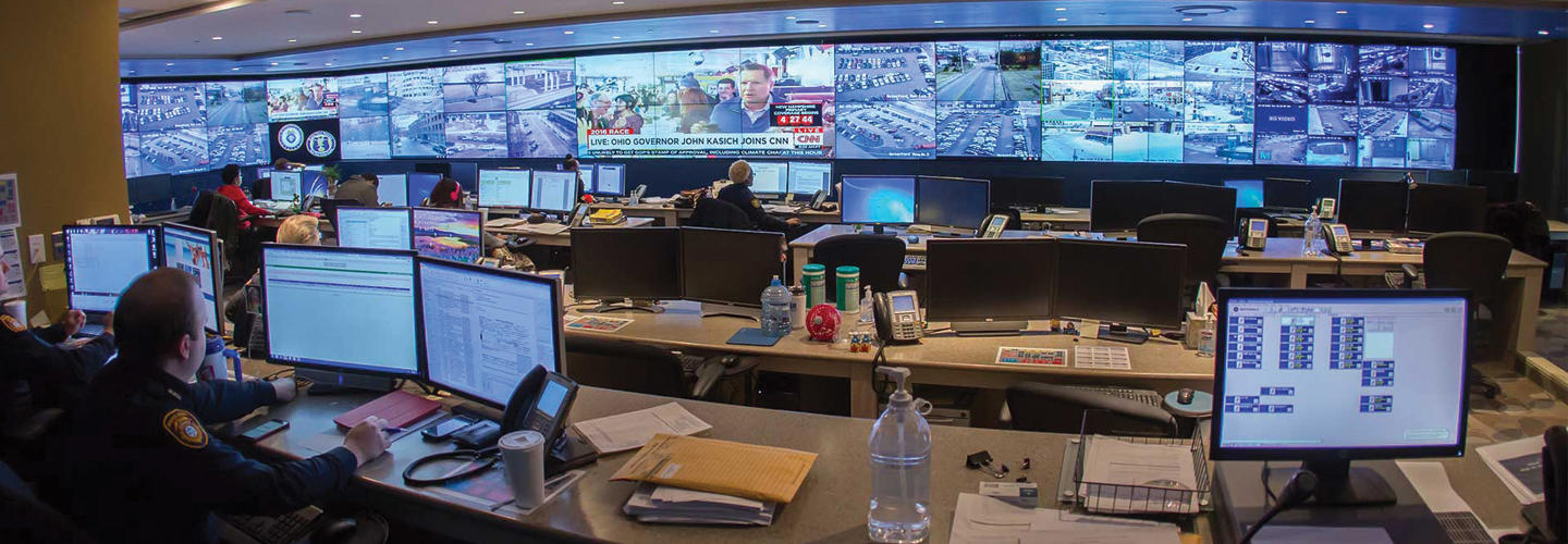
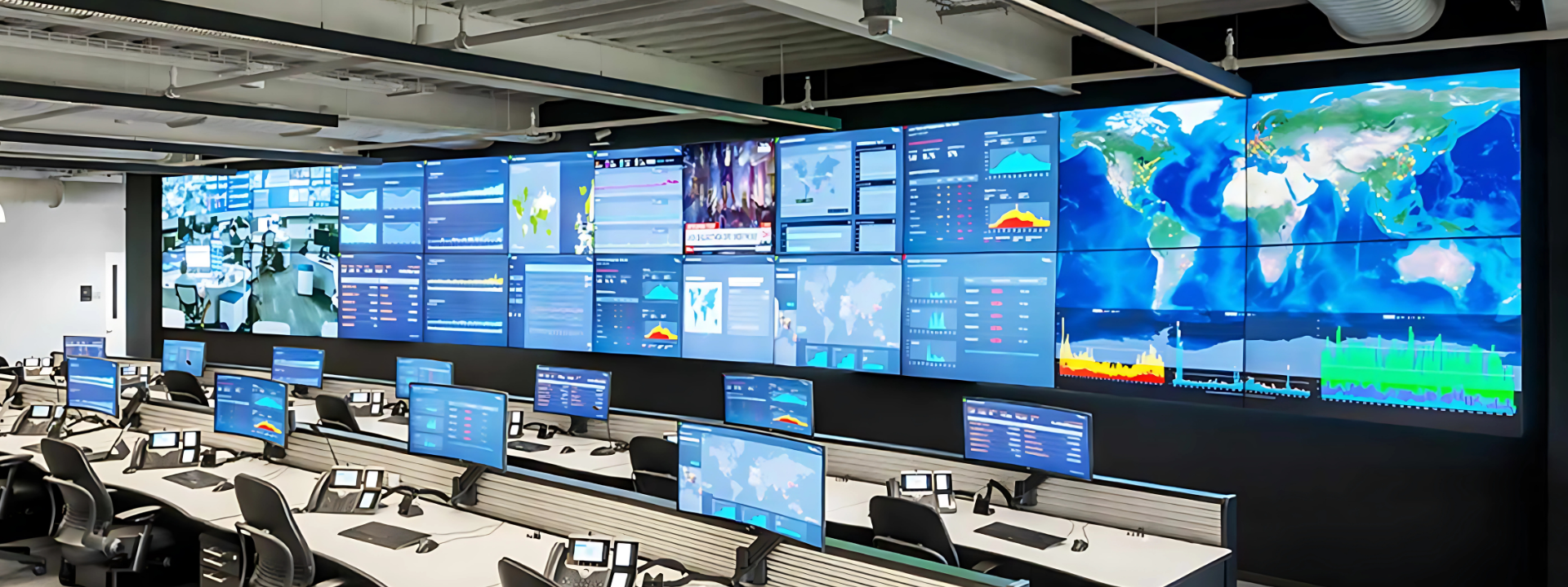
A command and control center is a secure area in a facility that allows for centralized situation monitoring, control, and command. This notion of a command and control center works just as well for tiny communities that need to deploy few personnel in a mobile unit for a local fair as it does for the larger Government authorities. MAX provides a number of command and control center solutions to assist you enhance your operations. Based on real-time data, your command center allows you to make the best decisions possible. Maintaining shared situational awareness and securely gathering data from different networks is essential. We provide video wall technology, network infrastructure, and operator workspace software to support video wall.

Types of Video Walls

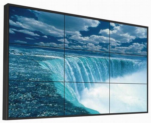
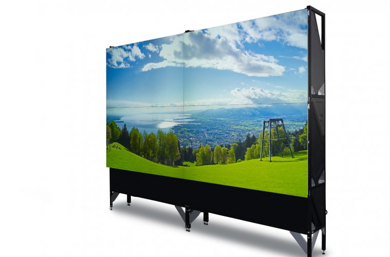
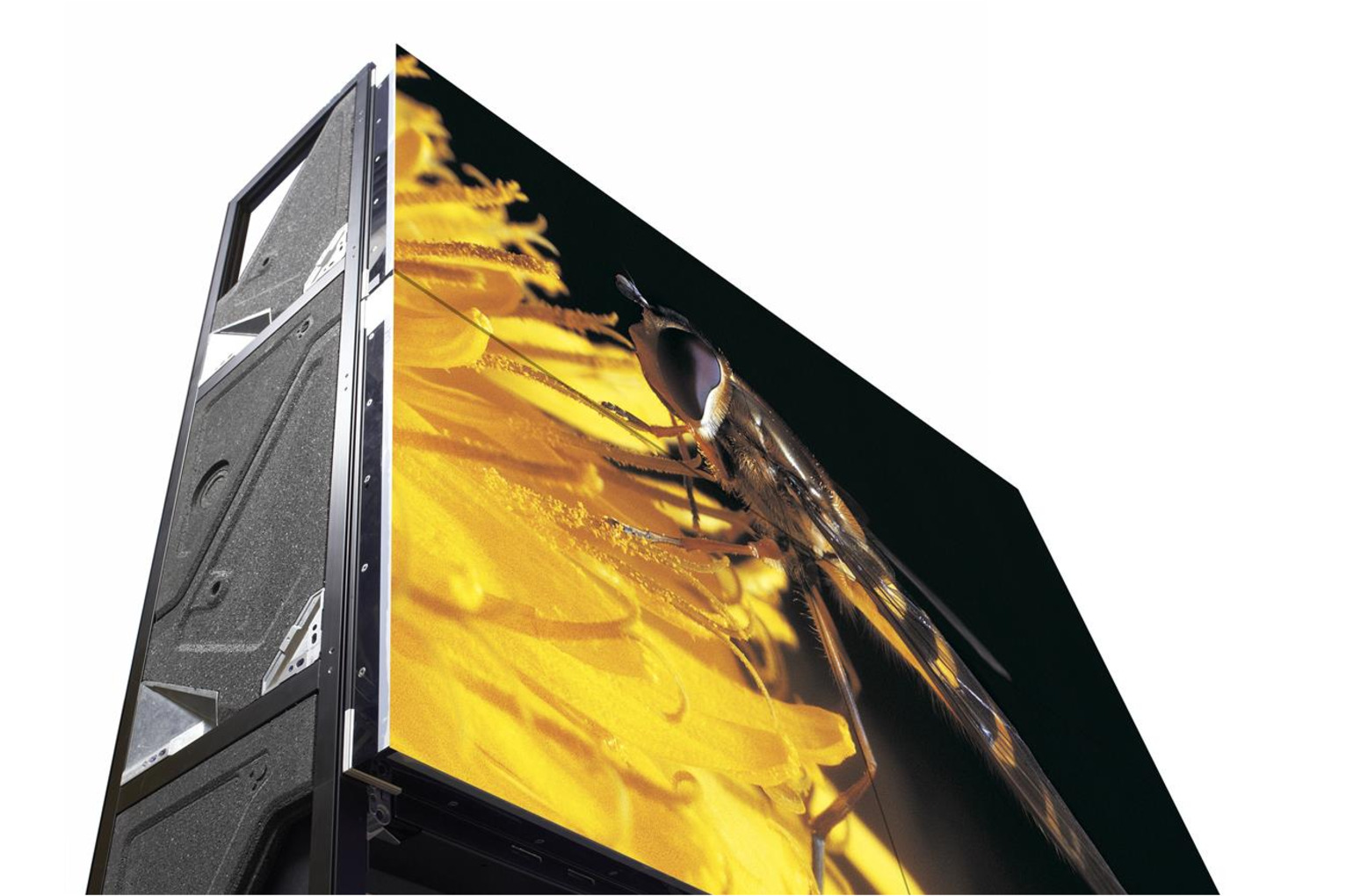
Various types of video walls used in MAX security systems

  • Professional-grade, narrow-bezel or bezel-less LCD displays.
  • 55-inch LCD panels with LED backlights combine high brightness and a wide colour gamut with an incredibly low inter-tile gap for exceptional performance.
  • Excellent brightness
  • Highly reliable
  • Spectacular graphics in any setting
  • Provides double the brightness of traditional rearprojection video walls
  • Excellent image quality
  • 24/7 lifespan of more than 11 years
  • Available in a wide range of screen sizes and formats
  • Ideal for any small, medium, or large control room.

Video Wall Controllers

Single Video Wall Controllers :

Single video wall controllers is your best option for utilising a stand alone video wall without a complicated network architecture. Small walls (e.g., four screens in a 2×2 arrangement) to big walls (up to 64 monitors in total) are all possible. This sort of controller is commonly used for video walls that run independently and are not connected to a larger network.


Network-centric multi-screen video wall Controllers :

To obtain video, pictures, or data into the secure IP-based system, just connect a source (a road camera, a sensor, a computer, etc.) to the appropriate encoder. This information will be sent anywhere in the globe using ordinary internet infrastructure. A decoder on the destination side ensures that the data is ready for usage on any display.

Control Room Collaboration

Industrial applications

To monitor industrial operations, factories require command and control centers.

ATC and other transport services

Command and control centers are used by trams, aeroplanes, buses, trains, and other mass public transportation organizations to improve operational efficiency and reduce the risk of hazards by improving quick communication between hubs. By centralising communication activities, these centers may improve safety and save transportation companies firms money

Military operations

The military employs a command and control communication approach, particularly when planning and coordinating attacks and defense plans for executing its operations. Since they carry out some of the world’s most important and precise command center activities, military facilities require high-quality technology and error-free installation.

Emergency operations center

State and local government agencies need to employ command and control centers to coordinate their actions and operations during times of disasters such as hurricanes, floods, forest fires, terrorist attacks etc.

Federal Agencies

Federal Agencies need strategic command centers to oversee their reactions and operations at times of breakouts in their respective areas such as health, disease control etc.

Corporations

Corporations usually employee three command centres: one for IT, one for marketing, and one for security in order to keep an eye on the entire scope of their IT infrastructure, equip corporate staff at newsworthy companies with the ability to monitor relevant news feeds, social media accounts, and other information resources in real time and for security surveillance monitoring for companies operating from a large campus

Oil,gas and power companies

Command and control centers are required to keep an eye on their resources, ensure safe operating conditions, and respond to crises. They are also used by multi-state energy firms to keep transportation, community, and regulatory commissions informed about their activities

 Vehicle Tracking System

Get information on vehicle tracking systems and the technology behind them.

What is GPS?

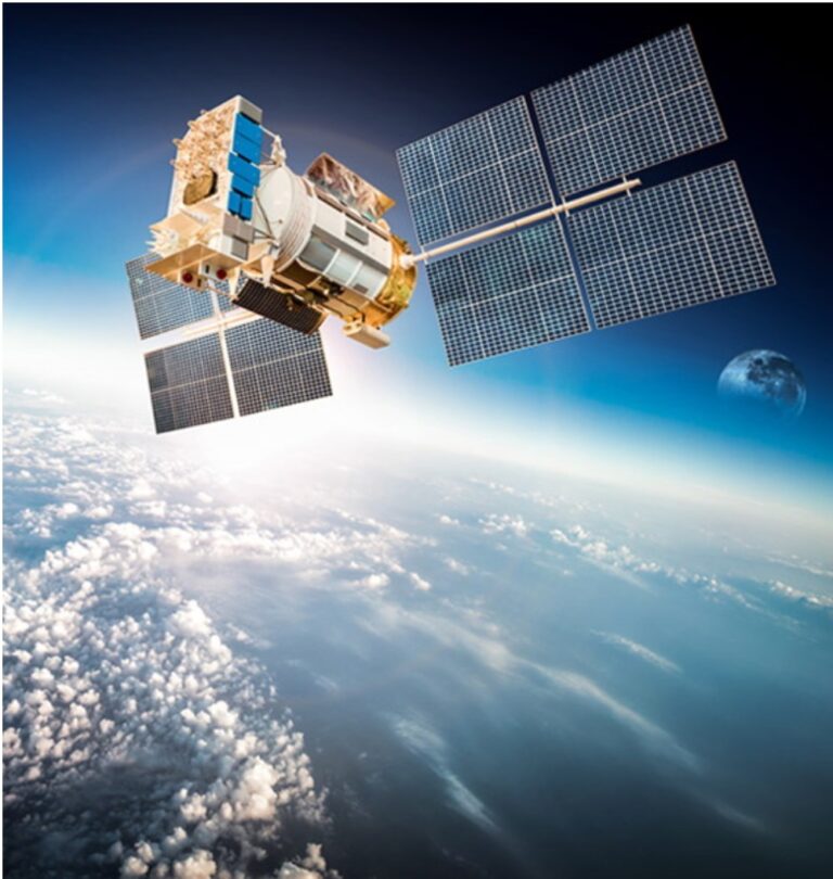
GPS (Global Positioning System) is a satellite-based navigation system that provides location and time data in any weather condition utilizing four or more satellites for the aim of detecting position of the GPS receiver in any accessible line of vision around the globe. The GPS system, which was first introduced for military purposes, was made available to civil use following downing of a passenger airplane having veered far from its normal course with 269 people on board in 1983. GPS systems are currently used in many fields ranging from airplanes to mobile phones, from vehicle tracking systems to navigation systems and to mapping.

There is more than one global positioning system in place. The systems developed by different countries are named as follows:

GPS (Developed by the USA. The project that was kicked off following the launching of the first satellite in 1978. It could only be completed by 1994 with the number of satellites reaching 24.)

GLONASS (Developed by Russia. The project that was kicked off following launching of the first satellite in 1979. It could only be completed by 2011 with the number of satellites reaching 24.)

GALILEO (The project that was initiated by the European Space Agency, ESA, in 1999. It will incorporate 30 satellites in total and will be available  for civil  aviation by  2020.)

COMPASS-BEIDOU-2 (Developed by China. The system is essentially based on the COMPASS-BEIDOU-1 system, which was put in mission in 2000 with 3 satellites. The system will become functional in 2020 with 35 satellites.)

IRNSS (The project was started in 2006 following its approval by the Indian government. The system was designed as a local positioning system and was inaugurated in 2016 with a total of 9 satellites.)


What is GPRS (General Packet Radio Service)

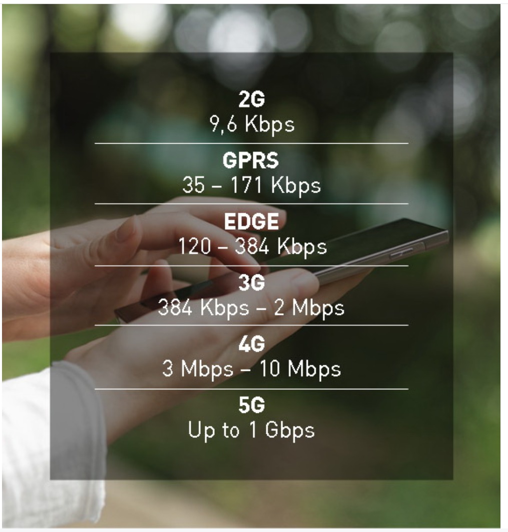
GPRS is a technology that allows you to go online via your mobile phone. GPRS connection technology (packet base services) provides a faster and more economical data transfer compared to conventional connection modes (circuit-switched services). Unlike the conventional connection technologies, the GPRS technology would charge you according to the amount of transferred data rather than the connection time. This technology allowed for data transfer from one mobile phone to another laying the ground for today’s smart phones. Since data transfer has speeded up and costs have dropped thanks to the GPRS technology, vehicle tracking systems as well as all other mobile applications and systems can be executed much faster and economically. In time, with the evolving technology, data transmission speed has improved. The terms GPRS, E, 2G, 3G, 4G and 5G are abbreviations used to classify signal power corresponding to the following data transmission values (See the image on the left)


What is Vehicle Tracking System?

With its simplest definition, a vehicle tracking system is the system that allows tracking and controlling of vehicles via an online computer, smart phone, tablet, etc. on a  24/7 basis thanks to GPS satellites. Vehicle tracking systems make it possible to have an instantaneous and history tracking of vehicle speeds, the routes they followed, stopping points, idling times on maps providing a registry and check point with past and present reports.

How does the Vehicle Tracking System work?

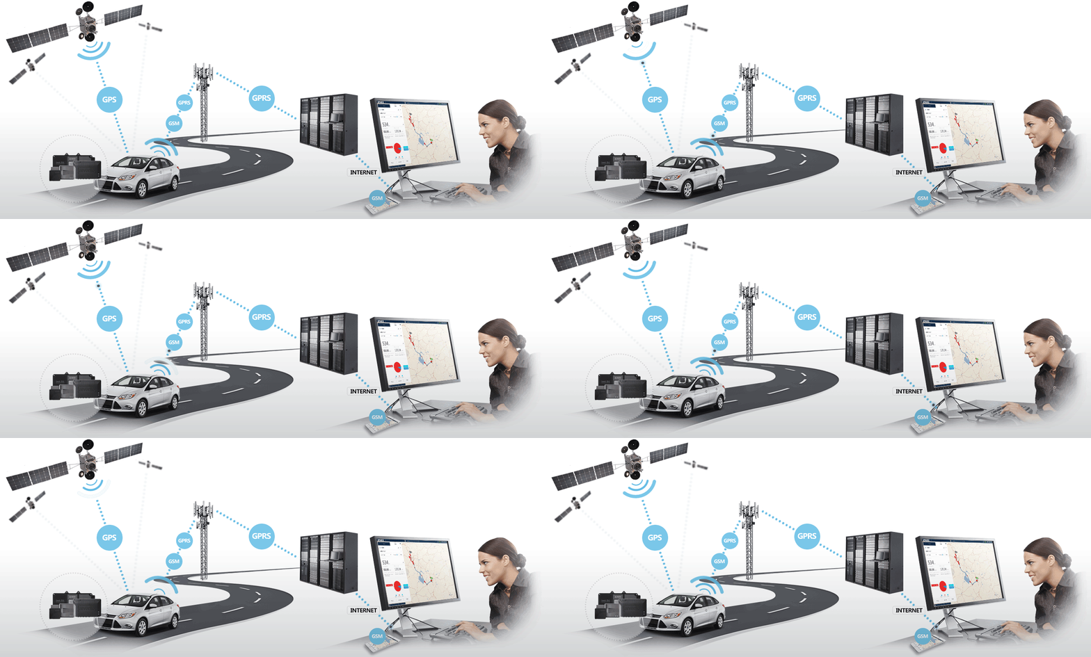
Basically, the vehicle tracking systems work in a loop of GPS, GSM/GPRS, digital maps and special software. Mobile data devices mounted on vehicles transmit two pieces of information they get from satellites – real-time when the satellite information was transmitted and position of the satellite in orbit at the time of transmission – and transmit telemetric information such as temperature to control and communication centers via the GSM/GPRS network. Information received as such are then compiled thanks to special software and recorded in a databank on servers. On the user side, vehicles can be tracked on their instantaneous and history records via a computer or a smartphone/tablet by using special software making it possible to visualize all information from vehicles, and to modify alarms and program statuses of vehicles. This structure forms the basis for functioning of the vehicle tracking systems.

× Contact Us